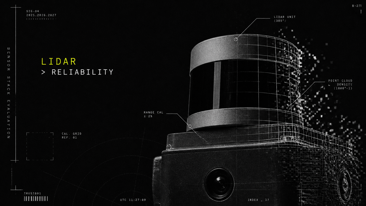
Quick Answer on lidar vs camera navigation: For most Indian buildings with dense foot traffic, dust, glass facades and variable lighting, LiDAR-based navigation delivers more reliable and safe autonomy than camera-only navigation. Camera/Vision AI adds low-cost semantics and interaction, so a hybrid LiDAR + camera + AI fleet stack is the best-fit for 24/7 corporate, retail, healthcare, hospitality and transit operations.
If you lead facilities, operations or innovation for a corporate campus, hospital, mall, hotel, university, plant or airport, this choice decides whether your service robots and AMRs run reliably for years or stall in pilot. An autonomous mobile robot navigation system is not just a sensor — it determines uptime, safety around people, cleaning and delivery consistency, and total staffing savings.
This guide breaks down how lidar navigation for robots and camera based robot navigation actually perform inside crowded, dusty, glass-heavy Indian buildings, and which indoor robot navigation system to choose for your vertical.
LiDAR vs Camera Navigation Explained: How Each Autonomous Mobile Robot Navigation System Works
Every indoor robot navigation system answers three questions continuously: Where am I? What is around me? Where should I go next?
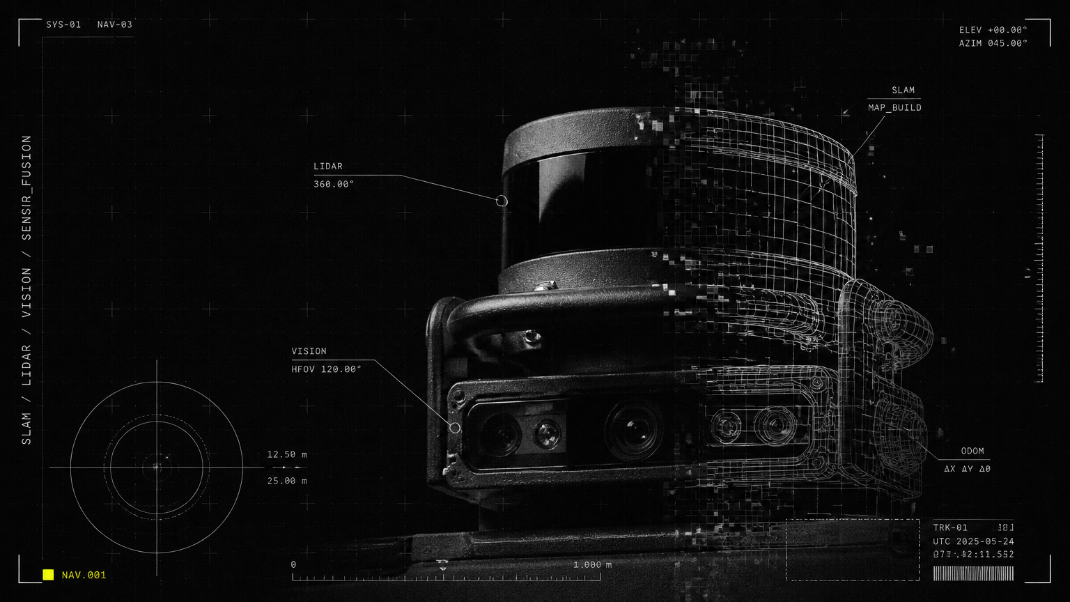
LiDAR navigation for robots uses a lidar sensor for service robots that spins or pulses laser light to measure distance in 360 degrees, building a precise 2D or 3D map. Camera based robot navigation uses one or more cameras to see visual features, track motion, and estimate position through Visual SLAM (vSLAM). A hybrid fused stack combines both, plus IMU, wheel odometry, ultrasonic and depth sensors, unified by AI fleet-management software.
| Criterion | LiDAR Navigation for Robots | Camera Based Robot Navigation (vSLAM) | Hybrid Fused Stack (LiDAR + Camera + AI) |
|---|---|---|---|
| Core Principle | Time-of-flight laser ranging to create geometric map | Visual feature detection and tracking from camera frames | Sensor fusion of laser geometry + visual semantics + odometry |
| Mapping Method | LiDAR SLAM, highly accurate to ±2 cm | vSLAM, accurate to ±5-10 cm in good light | Fused SLAM with loop closure and fleet-shared maps |
| Lighting Dependence | Independent of ambient light, works in darkness | Requires adequate, stable lighting | Operates in dark and variable light with LiDAR backbone |
| Object Understanding | Detects shape and distance, limited semantics | Rich semantics: reads signage, faces, gestures, QR codes | Precise geometry plus rich semantics and interaction |
| Range and Field of View | 20-40 m, 360-degree coverage | 3-8 m effective depth, 60-120-degree field of view | 360-degree long-range safety plus directional intelligence |
| Best Role | Safety-critical localization and obstacle avoidance | Guest interaction, inventory reading, visual inspection | 24/7 autonomy with safety, interaction and fleet intelligence |
vSLAM vs LiDAR: Core Technical Difference
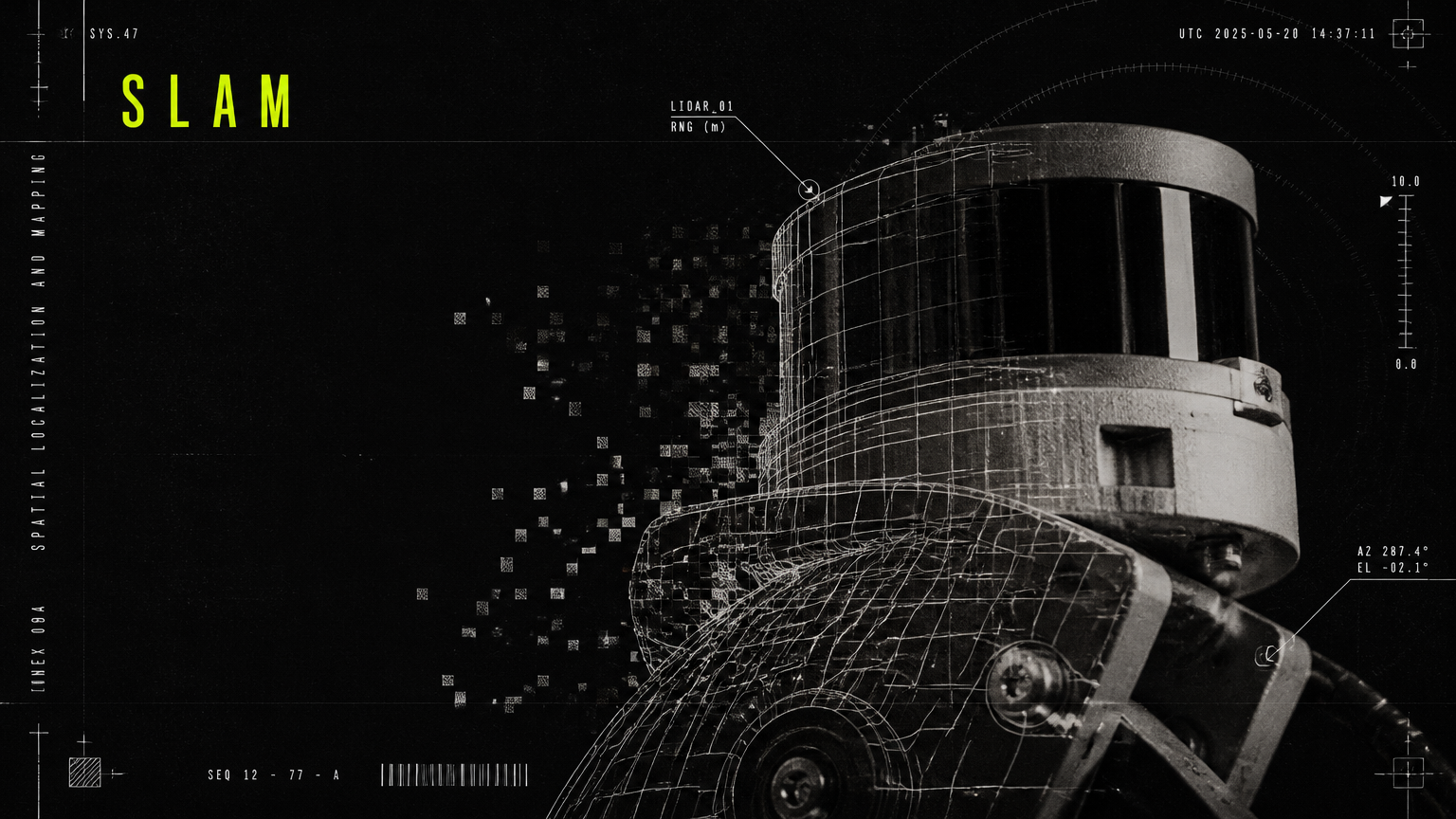
The debate around vSLAM vs lidar is essentially geometry versus vision. LiDAR gives robots a surveyor-grade sense of space. vSLAM gives them human-like sight.
| Criterion | LiDAR SLAM | vSLAM |
|---|---|---|
| Primary Input | Laser point cloud | RGB or RGB-D image features |
| Accuracy in Static Hall | ±2 cm, highly repeatable | ±5 cm, drifts without loop closure |
| Performance in Darkness | Unaffected | Degrades sharply or fails |
| Compute Load | Moderate, deterministic | High, GPU-intensive for dense mapping |
| Map Stability Over Months | High, layout changes handled well | Medium, sensitive to decor and lighting changes |
| Safety Certification Readiness | Strong for AMRs and cleaning robots near people | Weaker as sole safety sensor |
For facility heads, the takeaway is simple: LiDAR anchors reliable movement, cameras enable intelligent service.
LiDAR vs Camera Navigation in Real Indian Building Conditions
Indian commercial buildings present a tougher test than controlled warehouses or labs. High footfall, construction dust, polished marble glare, full-height glass facades, power fluctuations and constantly shifting furniture challenge any autonomous mobile robot navigation system.
Here is how each stack holds up in the field:
| Indian Building Condition | LiDAR Navigation Performance | Camera-Only Navigation Performance |
|---|---|---|
| Dense Crowds: Office lobbies, mall atriums, airport queues | Tracks legs and trolleys in 360 degrees, slows and reroutes smoothly even when vision is blocked | Loses feature tracking when view is occluded by people, more stops and hesitations |
| Dust and Floor Polish: Hospitals, plants, basements | Industrial-grade lidar sensor for service robots filters dust, maintains localization | Dust on lens and airborne particles create noise and false features |
| Glass Facades and Mirrors: IT parks, showrooms, hotels | Advanced LiDAR with glass detection plus ultrasonic backup; may need mapped glass zones | Glass is often invisible or reflective, causing missed obstacles |
| Glare and Variable Lighting: Atriums, entrances, event halls | Unaffected by sunlight, tube-light flicker or sudden dimming | Overexposure and shadows cause localization jumps |
| Low Light and Night Operations: Hospitals, 24/7 plants, security patrol | Full performance during night cleaning and patrol | Requires extra illumination, increases power draw |
| Dynamic Layouts: Retail displays, banquet setups, ward beds | Updates occupancy grid in real time, fleet map syncs across robots | Needs frequent remapping when visual landmarks move |
This is why corporate campuses in Bengaluru and Gurugram, hospitals in Mumbai and Delhi, and airports handling 50,000+ footfalls daily prioritize LiDAR as the safety backbone. Camera-only robots that demo well in an empty meeting room often struggle at 6 PM in a crowded lobby with low sun glare through glass.
Allbotix designs for these realities from the start. With 525+ robots developed in-house and 180+ happy clients across service and industrial sites, its engineering teams tune navigation for dust filtration, glass handling, crowd prediction and Indian flooring reflectivity, rather than assembling off-the-shelf kits tuned for foreign labs.
Cost, Reliability and Safety: What Facility Heads Should Calculate
Procurement often compares sensor sticker price. Operations should compare cost per reliable autonomous hour. A low-cost camera-only robot that needs constant rescue, remapping and supervision quickly costs more than a LiDAR-equipped fleet with 99.8% uptime.
| Decision Factor | LiDAR-Based Stack | Camera-Only Stack | Hybrid LiDAR + Camera + AI Fleet Stack |
|---|---|---|---|
| Upfront Hardware Cost | Higher due to lidar sensor for service robots | Lower, uses commodity cameras | Highest upfront, but shared across fleet platform |
| Uptime in Crowded Buildings | 99%+ with minimal interventions | 85-92%, frequent assists in peak hours | 99.8% with predictive maintenance and remote monitoring |
| Safety Around People and Patients | 360-degree safety fields, emergency stop to ISO standards | Limited depth accuracy, higher collision risk in crowds | Multi-layer safety: LiDAR fields + 3D vision + bump + fleet slow zones |
| Staffing Savings Realized | High: one operator can supervise 5-10 cleaning or delivery robots | Medium: needs dedicated attendant during peaks | Highest: true redeployment of front-desk, housekeeping and material-handling staff |
| Maintenance Load | Periodic lens cleaning and calibration, predictive alerts | Frequent lens cleaning, lighting fixes, remapping | Centralized health monitoring, OTA map updates, 24/7 Premium Support |
| 24/7 Monitoring Need | Compatible with lights-out operation | Difficult without full lighting and CCTV overlap | Built for lights-out operation with fleet dashboard and audit logs |
| Payback Profile | 12-18 months in high-wage, high-footfall sites | Longer if downtime and supervision are counted | Fastest at scale due to throughput and consistency gains |
Well-run robotics deployments in India now see payback in 12-18 months, driven by 15-30% throughput increases and 20-40% capacity uplift, while automation-led monitoring cuts unplanned downtime by 30-50%. The cost of inaction — continued overtime, agency staffing, inconsistent cleaning and missed SLAs — often exceeds the sensor premium within a single facility contract cycle.
Allbotix pairs its hardware fleets with proprietary AI fleet-management software for real-time monitoring and predictive maintenance. Facility teams see every robot's location, battery, task status and health on one dashboard, with alerts before a brush wears out or localization degrades. That software layer, fully owned in-house including design, firmware and source code, is what converts reliable navigation into measurable ROI.
Vertical-Wise Decision Framework: Which Indoor Robot Navigation System for Which Building?
No single sensor fits every use case. Use this framework to match your building risk profile to the right stack.
| Vertical and Pain Point | Recommended Stack | Why It Fits | Typical Allbotix Deployment |
|---|---|---|---|
| Corporate IT Parks and Co-working: Front-desk cost, dense foot traffic | Hybrid LiDAR + Camera | Safe elevator-lobby navigation plus visitor interaction and pantry delivery | AI receptionist robots, refreshment delivery robots, floor-cleaning automation |
| Government and Public Services: 24/7 monitoring, tight budgets | LiDAR-led Hybrid | Reliable night cleaning and patrol with audit transparency | Automated facility cleaning, surveillance robots, AI receptionists |
| Retail Malls and Showrooms: Customer flow, high attrition, brand wow | Hybrid LiDAR + Camera | Crowd-safe movement plus promotions, greetings and guidance | Promotional robots, floor-cleaning robots, AI greeters |
| Education Campuses: Safety risk, thin staff, sprawling blocks | LiDAR-led Hybrid | Long corridors and outdoor-to-indoor transitions with stable maps | Visitor management receptionists, AMR department transport, large-scale cleaning |
| Healthcare Hospitals: Infection control, non-clinical load, round-the-clock strain | LiDAR-led Hybrid | Silent, safe night operation around beds, trolleys and low light | Disinfection and floor-cleaning robots, linen and pharmacy AMRs, reception guidance |
| Hospitality Hotels and Resorts: Peak-time gaps, inconsistent service | Hybrid LiDAR + Camera | Elegant guest-facing navigation in lobbies, banquets and restaurants | Serving robots, room-service delivery, lobby cleaning and concierge humanoids |
| Manufacturing Plants: Inefficiency, workforce shortage, costly downtime | Industrial LiDAR AMR + Safety | Pallet-grade safety, precision docking and integration with cobots | AMRs, collaborative robots, humanoid assistants for training |
| Logistics and Warehousing: Inventory movement, fleet visibility | Industrial LiDAR AMR Fleet | High-accuracy pallet transport with fleet traffic management | 3PL fulfillment AMRs with centralized fleet visibility |
| Airports and Transit Hubs: High-density public infrastructure | Hybrid LiDAR + 3D Vision | Maximum crowd safety, multilingual guidance and continuous cleaning | Cleaning fleets, guidance receptionists, surveillance patrol |
As a rule: if robots move within two meters of children, patients, travellers or heavy machinery, choose LiDAR or hybrid. Choose camera-only only for fixed, well-lit, low-speed kiosks with no safety responsibility. For every 24/7 corporate, retail, healthcare, hospitality and transit operation, the hybrid fused stack is the future-proof investment.
This breadth is where Allbotix holds a distinct edge. Few Indian players cover receptionist, humanoid, quadruped dog, cleaning, serving, AMR and cobot form factors under one precision-engineered platform. Backed by publicly listed Nanta Tech Limited and scaled through Made-in-India manufacturing with Aimtron Technologies, Allbotix engineers each machine to a client's specific precision, ambition and scale rather than reselling a single-category import.
How to Specify Your Sensor Stack Before You Invest
Before signing a pilot, ask vendors these five questions to de-risk lidar vs camera navigation for your building:
First, demand a peak-hour demo, not an empty-floor demo. Test in your actual lobby at lunch rush or boarding time with glass doors, marble glare and trolleys.
Second, ask for glass and low-light handling in writing. How does the autonomous mobile robot navigation system detect full-height glass, mirrors and dark corridors without added lighting?
Third, measure interventions per hour and safety stops. A reliable indoor robot navigation system should run for hours without human rescue and log every near-miss.
Fourth, review fleet software, not just one robot. Can you monitor, remap, schedule and update ten robots remotely with predictive maintenance and audit trails?
Fifth, confirm in-house engineering and support. Who owns the design, firmware and source code, and who provides 24/7 on-ground support with spares?
Allbotix meets these tests with limitless innovation backed by precision engineering: full IP ownership, proprietary fleet-management software, cross-industry deployment experience, and 24/7 Premium Support engineered for Indian conditions.
Bring Reliable Autonomy to Your Building with Allbotix
Choosing between LiDAR and camera is ultimately choosing between demo autonomy and dependable operations. For crowded, dusty, glass-heavy Indian buildings, LiDAR-led hybrid navigation delivers the safety, uptime and ROI your board expects.
Talk to Allbotix to map your facility, simulate footfall and lighting risks, and deploy a pilot fleet of receptionist, cleaning, serving, AMR or humanoid robots tuned for your site. With 525+ robots developed, 180+ clients served, 99.8% uptime and backing from Nanta Tech Limited, Allbotix will engineer the right sensor stack for your precision, ambition and scale — and support it around the clock.
Contact Allbotix today for a site assessment and live peak-hour demo.
Keep reading
This guide is part of our series on How Robots Actually Work. For the full overview, start with How Does an Autonomous Robot Navigate a Building? SLAM, LiDAR and Vision Explained.