Quick Answer: Autonomous robots navigate buildings by using SLAM to build a live map and track their exact position while LiDAR measures precise distances and vision cameras recognize people, doors, and obstacles. Together, sensor fusion lets receptionist, cleaning, serving, and AMR robots plan safe paths and move reliably through offices, hospitals, malls, campuses, and warehouses.
This guide to autonomous robot navigation explains how do robots navigate indoors without GPS, rails, or building changes.
How Does an Autonomous Robot Navigate a Building? SLAM, LiDAR and Vision Explained: A Guide to Autonomous Robot Navigation
For facility, operations, and IT leaders, autonomous robot navigation can feel like a black box. A receptionist robot greets visitors in a busy lobby, a cleaning robot covers a hospital corridor overnight, and an AMR delivers parts across a plant — all without bumping into people or getting lost.
No magnetic tape. No major renovation. No joystick operator.
This article breaks it down in plain English: what is SLAM in robotics, how LiDAR and vision work together, and what reliable navigation means for offices, hospitals, malls, campuses, hotels, warehouses, and transit hubs.
How Autonomous Robot Navigation Works: SLAM, Mapping and Localization
At its core, how do robots navigate indoors comes down to answering three questions continuously, several times per second:
- Where am I?
- What is around me?
- How do I get to my destination safely?
GPS does not work reliably indoors. So indoor service and industrial robots create their own positioning system using SLAM, sensors, and path planning.
What Is SLAM in Robotics? Mapping Plus Localization
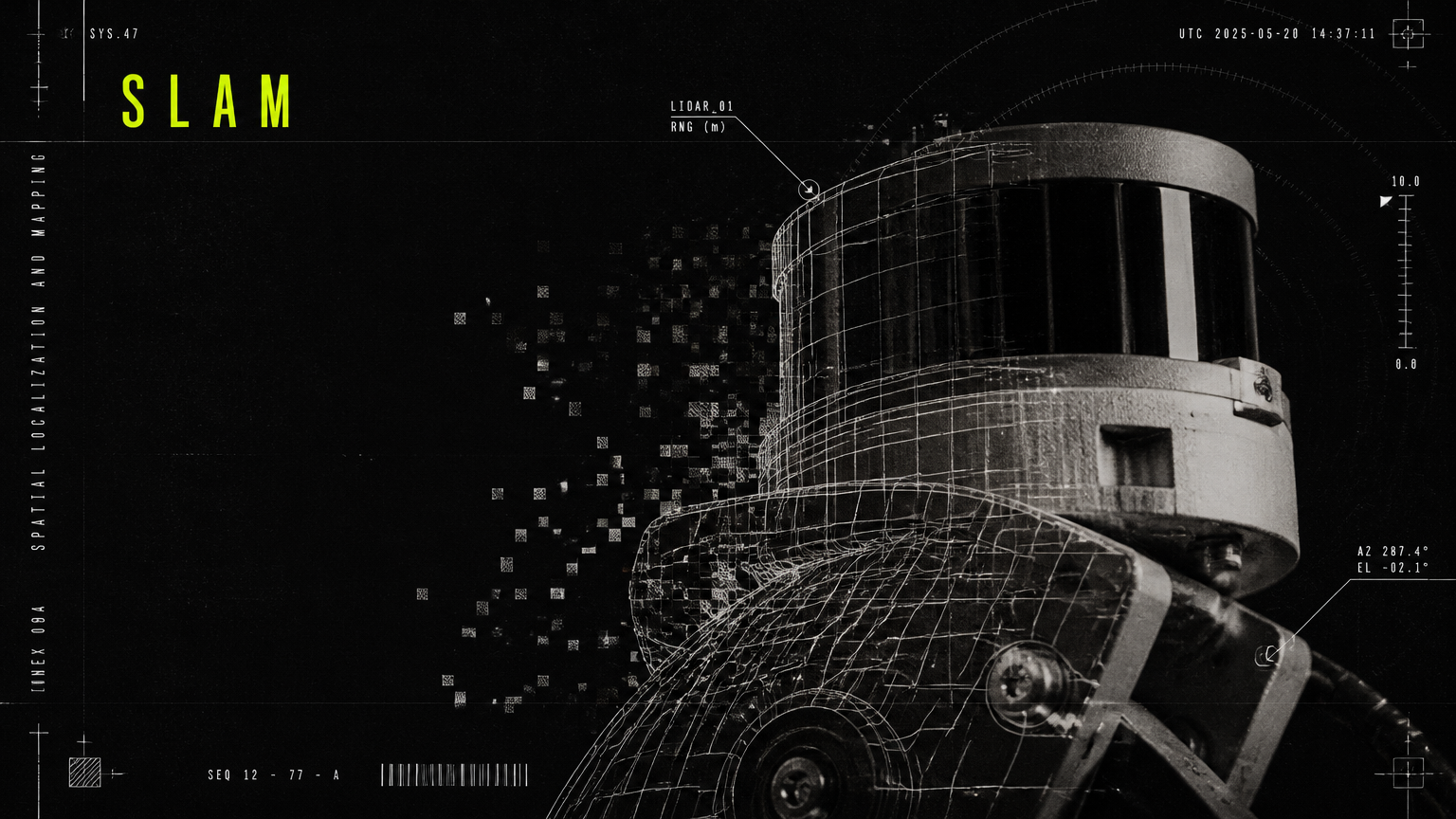
What is SLAM in robotics? SLAM stands for Simultaneous Localization and Mapping.
It means the robot builds a map of an unfamiliar building while figuring out its own position inside that map — at the same time.
Think of it like walking through a large hospital with your eyes open for the first time:
Mapping: The robot uses LiDAR lasers, cameras, depth sensors, wheel odometry, and an inertial measurement unit (IMU) to observe walls, pillars, doors, furniture, and corridors. It stitches these observations into a 2D floor map for navigation and, in newer systems, a 3D semantic map that labels doors, elevators, people, and no-go zones.
Localization: As it moves, the robot constantly asks, "Which part of the map am I in now?" It matches what its sensors see right now against the map it has built. Particle filters and scan-matching algorithms correct for wheel slip, crowded views, and sensor noise to keep position accuracy within centimeters.
Without SLAM, a robot would be blind after moving 10 meters. With SLAM, it maintains a live, centimeter-accurate understanding of where it is, even in a 200,000 sq. ft. campus or warehouse.
How Do Autonomous Mobile Robots Map Buildings?
How do autonomous mobile robots map buildings in practice? There are two phases: initial site mapping and live updating.
1. Initial site walkthrough: During deployment, an Allbotix engineer walks or drives the robot through your facility once. The robot scans corridors, lobbies, wards, retail aisles, or production lines and creates a base map. Waypoints, charging docks, elevators, service zones, and restricted areas are marked in software — not with physical infrastructure.
For most offices, hotels, hospitals, malls, and universities, this requires no building changes. No beacons, no QR codes on every wall, no floor reconstruction. Elevator integration and automatic doors are handled via API or IoT modules where needed.
2. Live map updates: Buildings change. A retail promotion moves shelves. A hospital adds temporary beds. A conference sets up partitions in a lobby. Modern autonomous robot navigation does not rely on a frozen map. The robot compares live sensor data to the base map, treats new obstacles as temporary or permanent, and updates its cost map accordingly.
This is why well-engineered fleets can achieve 99.8% uptime in dynamic environments. Allbotix pairs its in-house navigation stack with proprietary AI fleet-management software that monitors map health, localization confidence, and route blockages in real time.
From Map to Motion: Path Planning and Obstacle Avoidance
Once the robot knows where it is and what is around it, it plans how to move:
Global path planning: Like Google Maps for indoors. Given a task — "go from reception to Meeting Room C" or "clean Ward 4, Aisle 2" — the robot calculates the most efficient route on the building map, avoiding known walls and no-go zones.
Local path planning: Like a careful driver. 10-20 times per second, the robot adjusts speed and steering to avoid people stepping in front of it, carts left in corridors, or luggage in hotel lobbies. It slows down, yields, reroutes, or stops gracefully instead of braking harshly.
Safety layers include speed limits by zone, virtual bumpers, emergency stop fields, and audible/visual cues. Receptionist, serving, cleaning, and AMR platforms are designed to operate safely around children, elderly patients, shoppers, and forklifts.
LiDAR vs Vision Robot Navigation: Sensors Compared for Autonomous Robot Navigation
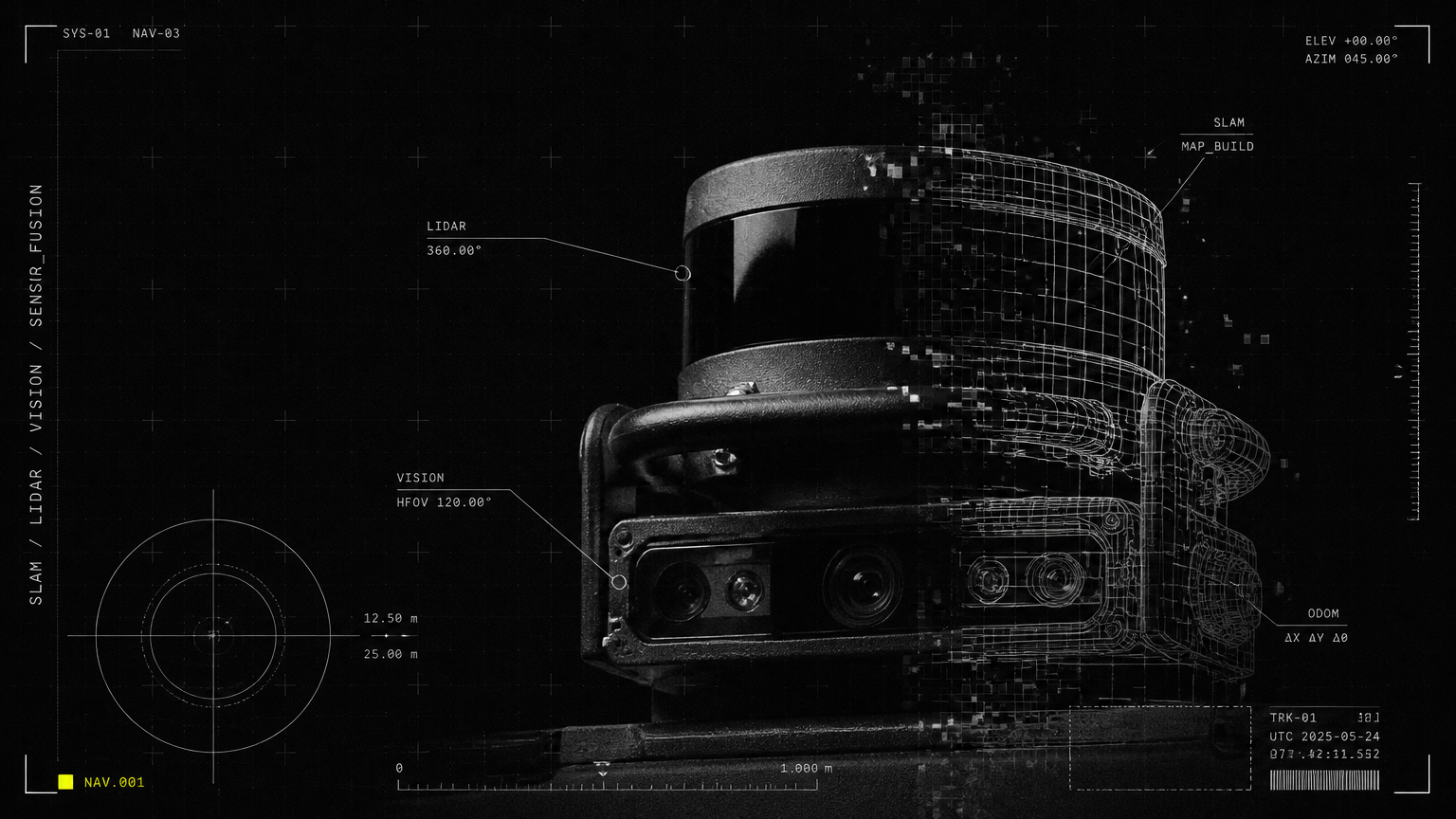
No single sensor can handle every indoor challenge. Dark corridors, glass walls, crowds, reflective floors, and sudden layout changes each fool different sensors. That is why robust autonomous robot navigation uses sensor fusion.
LiDAR Robot Navigation Explained
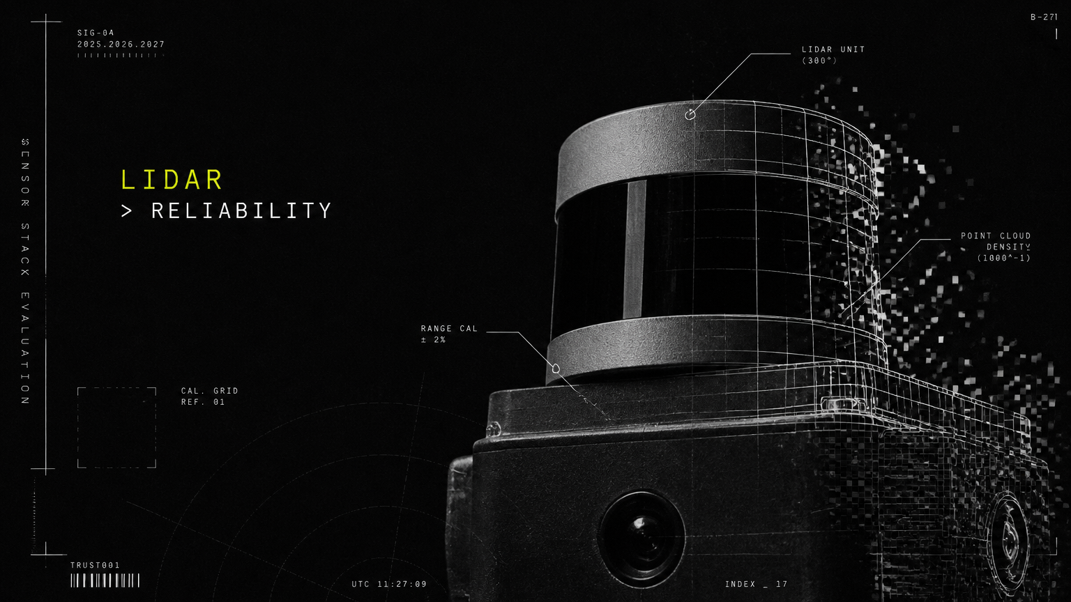
LiDAR robot navigation explained simply: LiDAR spins or pulses laser beams 360 degrees and measures how long each beam takes to bounce back. That time-of-flight creates a precise distance measurement.
A modern 2D or 3D LiDAR generates millions of points per second, forming a point cloud that outlines walls 20-30 meters away with 2-3 cm accuracy — even in complete darkness.
LiDAR is excellent for geometry: where are walls, pillars, and large obstacles? It does not depend on lighting, and it works reliably in dense foot traffic because it sees legs and carts as geometric shapes. Its limitation is meaning: LiDAR alone cannot read a "wet floor" sign, recognize a glass door, or tell the difference between a person and a mannequin.
Vision Navigation and Visual SLAM
Vision navigation uses RGB cameras and depth cameras to see like humans do. Visual SLAM extracts features — corners, door frames, signage, textures — from camera images to track motion and recognize objects.
Cameras add context LiDAR cannot provide. They detect people and predict intent, recognize elevator buttons, read room numbers, see small or low obstacles like cables and steps, and identify glass and mirrors that lasers can miss.
Vision alone struggles in low light, featureless white corridors, or highly repetitive warehouses where every aisle looks identical. That is where fusion matters.
| Criterion | LiDAR-Based Navigation | Vision-Based Navigation | Sensor Fusion (LiDAR + Vision + IMU + Odometry) |
|---|---|---|---|
| Primary Input | Laser distance measurements, point cloud | RGB images, depth images, semantic features | Combined lasers, images, depth, motion, wheel data |
| Positioning Accuracy | Centimeter-level geometry, stable in dark | Centimeter-level in good light, drifts in dark or blank walls | Highest stability across light, crowd, and layout changes |
| Object Understanding | Detects shape and distance, limited meaning | Recognizes people, doors, signs, glass, small objects | Measures distance precisely and understands what objects are |
| Performance in Crowds | Strong, sees through gaps at leg height | Strong, tracks human posture and direction | Strongest, predicts crowd flow and reroutes early |
| Performance in Low Light | Excellent, independent of light | Reduced without illumination | Excellent, LiDAR and IMU compensate |
| Handling Glass and Reflective Floors | Can miss clear glass | Detects glass frames, reflections, signage | Most reliable, cross-checks both sensors |
| Best Fit For | Warehouses, plants, long corridors, 24/7 cleaning | Hospitality, retail, hospitals needing interaction | Offices, hospitals, malls, campuses, mixed-use sites |
In practice, Allbotix receptionist, cleaning, serving, and AMR robots do not choose one sensor. Built in-house rather than assembled from off-the-shelf parts, they combine LiDAR, vision, ultrasonic, bumper, and IMU data so precision engineering holds up during peak hours, night shifts, and layout changes.
Vision SLAM vs LiDAR SLAM: Which Does What?
Facility leaders often ask about vision SLAM vs LiDAR SLAM. Both are forms of SLAM — they differ only in the primary sensor used for mapping and localization.
| Criterion | LiDAR SLAM | Vision SLAM (Visual SLAM) |
|---|---|---|
| Map Type | 2D occupancy grid and 3D point cloud focused on structure | Feature-rich 3D map with visual landmarks and semantics |
| Strength | Highly accurate distances, robust in dark and repetitive spaces | Rich context, recognizes objects, works with low-cost cameras |
| Limitation | Higher sensor cost, limited semantic understanding alone | Sensitive to lighting changes, motion blur, blank walls |
| Compute Load | Moderate, optimized for real-time localization | Higher, requires more processing for image understanding |
| Use in Buildings | Core for AMRs, cleaning robots, large-floor navigation | Core for receptionist and serving robots needing interaction |
| Allbotix Approach | Used together in fusion, managed via fleet software with predictive maintenance | Used together in fusion, managed via fleet software with predictive maintenance |
The takeaway for buyers: do not choose LiDAR or vision. Choose a platform that fuses both and proves it in your type of foot traffic. That fusion is what lets a robot navigate a crowded mall atrium on Saturday and the same empty atrium at 2 a.m. without remapping.
What Autonomous Robot Navigation Means for Real-World Deployment
Understanding SLAM and sensors is useful. Knowing what it means for your building, staff, and operations is what drives ROI.
Do You Need to Modify Your Building?
For most corporate campuses, government facilities, retail stores, schools, hospitals, and hotels, the answer is no major civil work.
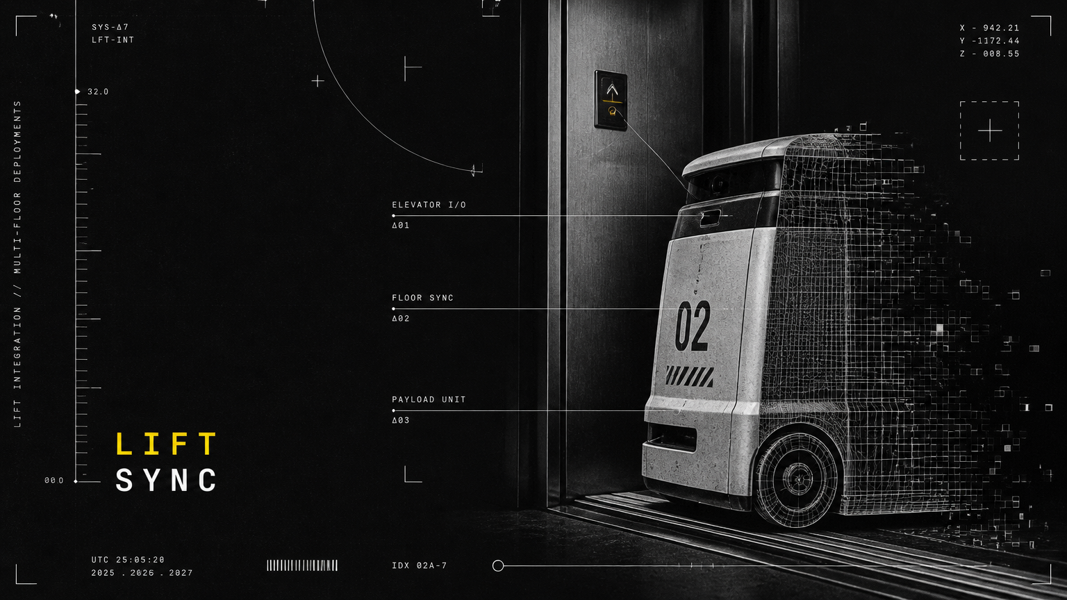
A typical Allbotix deployment includes site survey, assisted mapping, zone marking, safety speed limits, elevator and access integration if required, and Wi-Fi / 4G / 5G validation for fleet monitoring. Robots operate on existing floors, use existing elevators and automatic doors, and return to compact charging docks automatically.
Industrial sites may add floor markings for AMR lanes or pallet stations for process clarity, but navigation itself does not depend on magnetic tape. With 525+ robots developed and 180+ happy clients across industries, the deployment model is designed for live, occupied buildings — not greenfield labs.
This cross-industry versatility matters. Few robotics providers cover receptionist, humanoid, quadruped, cleaning, serving, AMR, and cobot form factors under one navigation and fleet-management platform.
How Robots Handle Crowds, Layout Changes, and 24/7 Operation
Dense foot traffic: In IT parks, airports, transit hubs, malls, and hospital lobbies, robots slow to a socially acceptable speed, maintain safe following distance, yield at intersections, and announce presence politely. Vision detects human orientation; LiDAR maintains a safety field even if cameras are blocked by a crowd.
Layout changes: When a store resets aisles or an office rearranges furniture, the robot treats it as a local cost-map update, reroutes, and flags persistent changes to the fleet dashboard. No engineer needs to remap for every chair moved.
24/7 operation: Navigation reliability enables round-the-clock value: overnight floor scrubbing in hospitals and airports, 24/7 surveillance patrols for government campuses, late-night pantry delivery in tech parks, and continuous material movement in plants and 3PL warehouses. With 24/7 Premium Support and predictive maintenance, low battery, blocked paths, or localization dips trigger alerts and auto-recovery before they become downtime.
That reliability directly addresses labor shortage and cost pressures, unplanned downtime, and consistency gaps that facility and manufacturing leaders face today.
Safety, Fleet Management, and Scale
Safe autonomous robot navigation is not just onboard sensors. At scale, it is a system:
Safety around humans: Multi-layer protection with LiDAR safety fields, 3D depth for low obstacles, emergency stop, speed zoning near schools and wards, and audit logs for IT and compliance teams.
Fleet management: Proprietary AI fleet-management software shows live position, task status, battery, and map health for every robot across buildings and cities. Managers can dispatch tasks, set schedules, define no-go hours, and view cleaning or delivery reports without following the robot.
Made-in-India scale: Full IP ownership of design, firmware, and source code plus manufacturing scaled via the Aimtron Technologies partnership allows machines to be engineered to a client's specific precision, ambition, and scale. Backing from publicly listed Nanta Tech Limited adds governance credibility for enterprise, government, and healthcare buyers.
Whether you start with one AI receptionist in a corporate lobby, three cleaning robots across a university, or a fleet of AMRs in a fulfillment center, the same navigation foundation scales.
Limitless innovation only matters if robots move safely every single shift. That is the promise of precision-engineered autonomous robot navigation: live maps, exact positioning, and human-aware motion — shift after shift.
Talk to Allbotix to map your building, pilot a receptionist, cleaning, serving, or AMR fleet, and see live autonomous robot navigation in your own corridors, lobbies, and warehouses.
Explore this guide in depth
Each of these guides answers one question from this overview in full:
- LiDAR vs Camera Navigation: Which Sensor Stack Suits Indian Buildings?
- What Is SLAM in Robotics? A Plain-English Guide for Facility Managers
- How Robots Use Elevators: Lift Integration for Multi-Floor Deployments
- Obstacle Avoidance Explained: How Service Robots Handle Crowds, Pets and Glass Doors
- Robot Battery Life, Charging Cycles and Uptime: What the Spec Sheet Doesn't Tell You